GeoShape Powers Smarter Urban Design with Advanced 3D Environmental Modeling
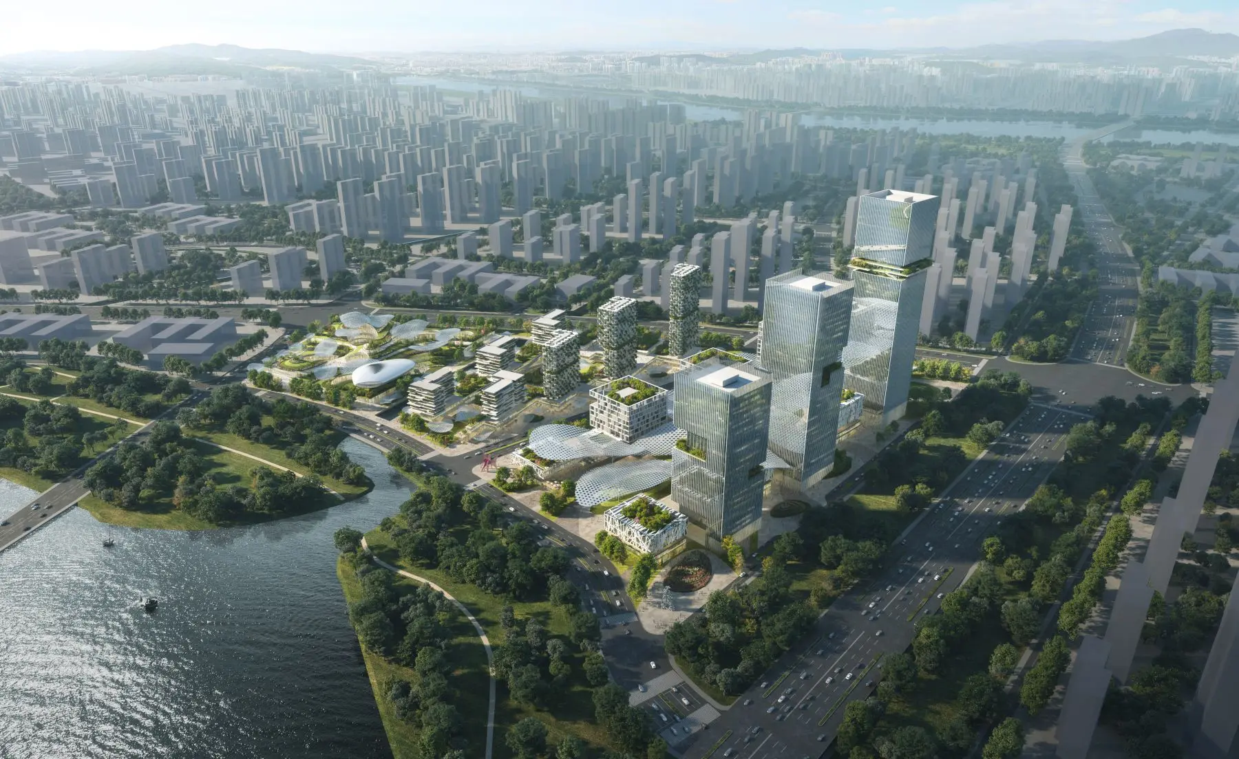
GeoShape announces the successful deployment of a significant enhancement to its core 3D environmental modeling module, introducing advanced real-time simulation capabilities tailored for urban planning and design. This update integrates sophisticated algorithms for dynamic environmental factor analysis, directly within the existing platform. The objective is to provide urban planners, architects, and developers with a more robust toolset for understanding and mitigating environmental impacts at every stage of project development.
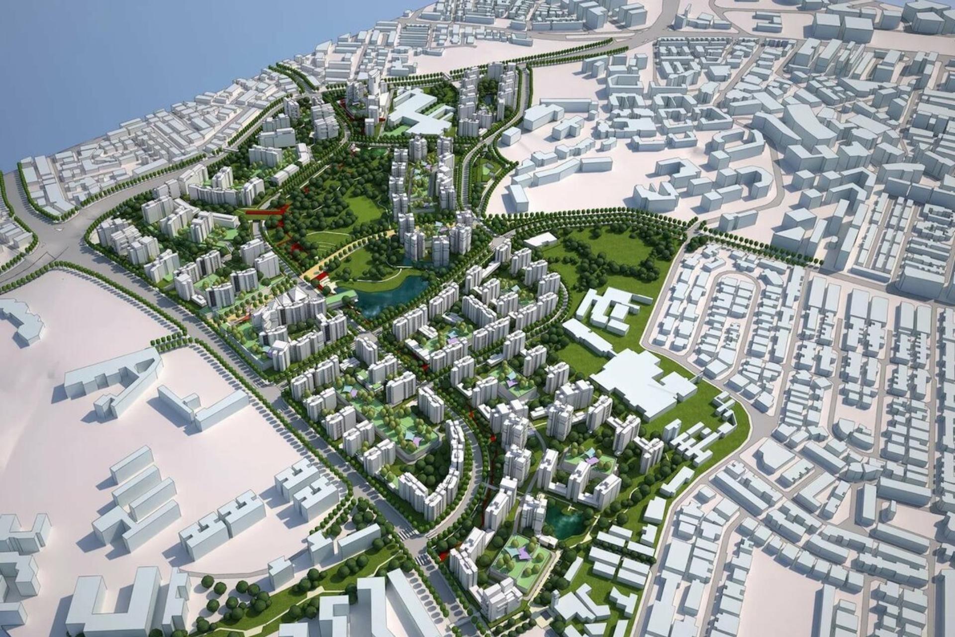
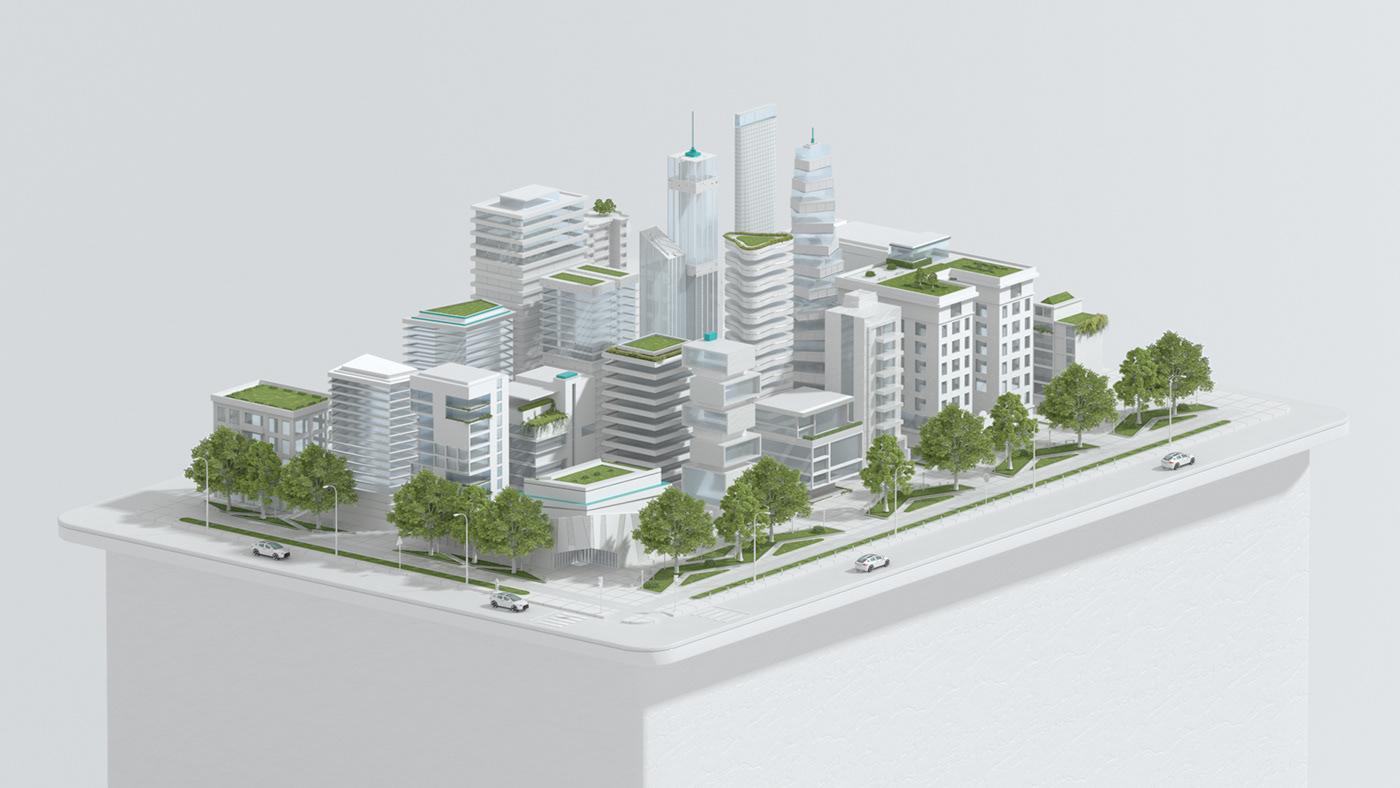
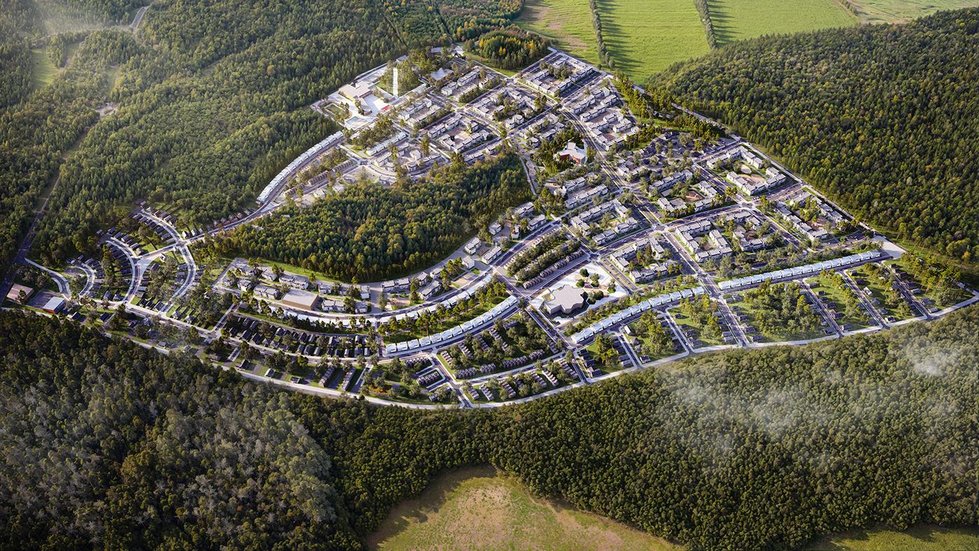
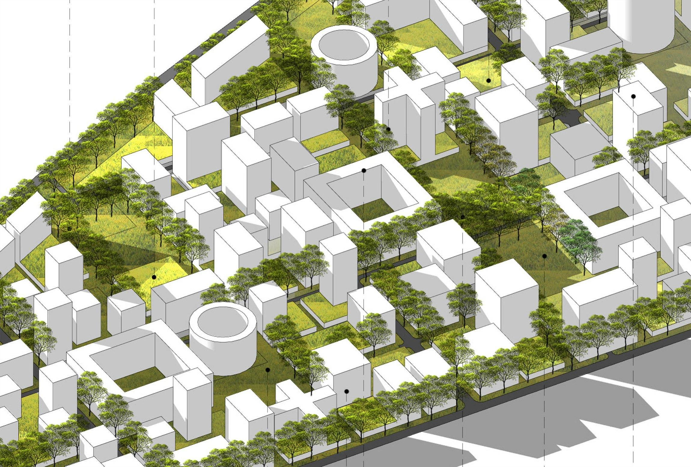
Prior to this implementation, urban design projects frequently relied on static environmental representations, which often necessitated extensive manual parameter adjustments and iterative design cycles. Accounting for dynamic factors such as solar exposure, wind patterns, acoustic propagation, and microclimates required considerable effort and time. This methodology, while providing foundational insights, presented limitations in predictive accuracy and overall resource efficiency, particularly when addressing large-scale or intricately complex urban developments.
The development of this module involved a dedicated, multi-disciplinary team focused on algorithmic refinement and seamless integration with GeoShape's existing data structures. Following an intensive development phase, the new capabilities underwent rigorous internal testing, encompassing alpha and beta phases with a select group of early adopters. This comprehensive validation process ensured stability and performance across diverse geographical and urban contexts. The successful completion of these stages culminated in a controlled, phased rollout to all users, ensuring a smooth transition. 
Internally, this update has significantly streamlined the initial design and analysis phases, enabling our urban planning specialists to conduct more comprehensive environmental assessments in a fraction of the time previously required. For clients, the immediate impact is evident in accelerated design iterations and the enhanced ability to visualize and understand complex environmental interactions much earlier in the project lifecycle. This fosters a more collaborative environment, facilitating data-driven decisions and improving communication among stakeholders from conception to completion.
The outcomes of this enhancement include a notable increase in computational efficiency, leading to substantially reduced processing times for intricate environmental simulations. Users now benefit from refined predictive modeling capabilities, which support more informed design choices concerning building orientation, material selection, and the optimization of public spaces. The overall user experience has been improved, offering greater convenience in managing and interpreting complex environmental data, thereby contributing to more sustainable and resilient urban designs.
Ivan Richardson
The description of the new environmental modeling capabilities seems quite detailed. I'm interested to see how this translates into practical application for smaller-scale projects.
Joan Diaz
Thank you for your feedback. While the update offers significant benefits for large-scale urban developments, its modular nature also provides substantial advantages for smaller projects, enabling precise environmental analysis for individual buildings or localized areas.
Freya Lane
This sounds like a very valuable update for improving design efficiency. The focus on real-time simulation is particularly compelling for modern urban challenges.
Leland Gomez
We appreciate your positive remarks. Our aim was precisely to address the need for more dynamic and responsive tools in urban design, and we believe these real-time capabilities will be instrumental.
Leon Hernandez
The emphasis on reduced processing times is a welcome development. How does this impact projects with very extensive data sets?
Peyton Mendez
For projects with extensive data sets, the algorithmic optimizations are designed to manage computational load more efficiently, leading to proportionally greater time savings compared to previous versions. We continuously work on further performance enhancements.