Integrating Urban Data: GeoShape's Cloud Service for Strategic Development

Enhanced Cloud Service for Urban Data Integration
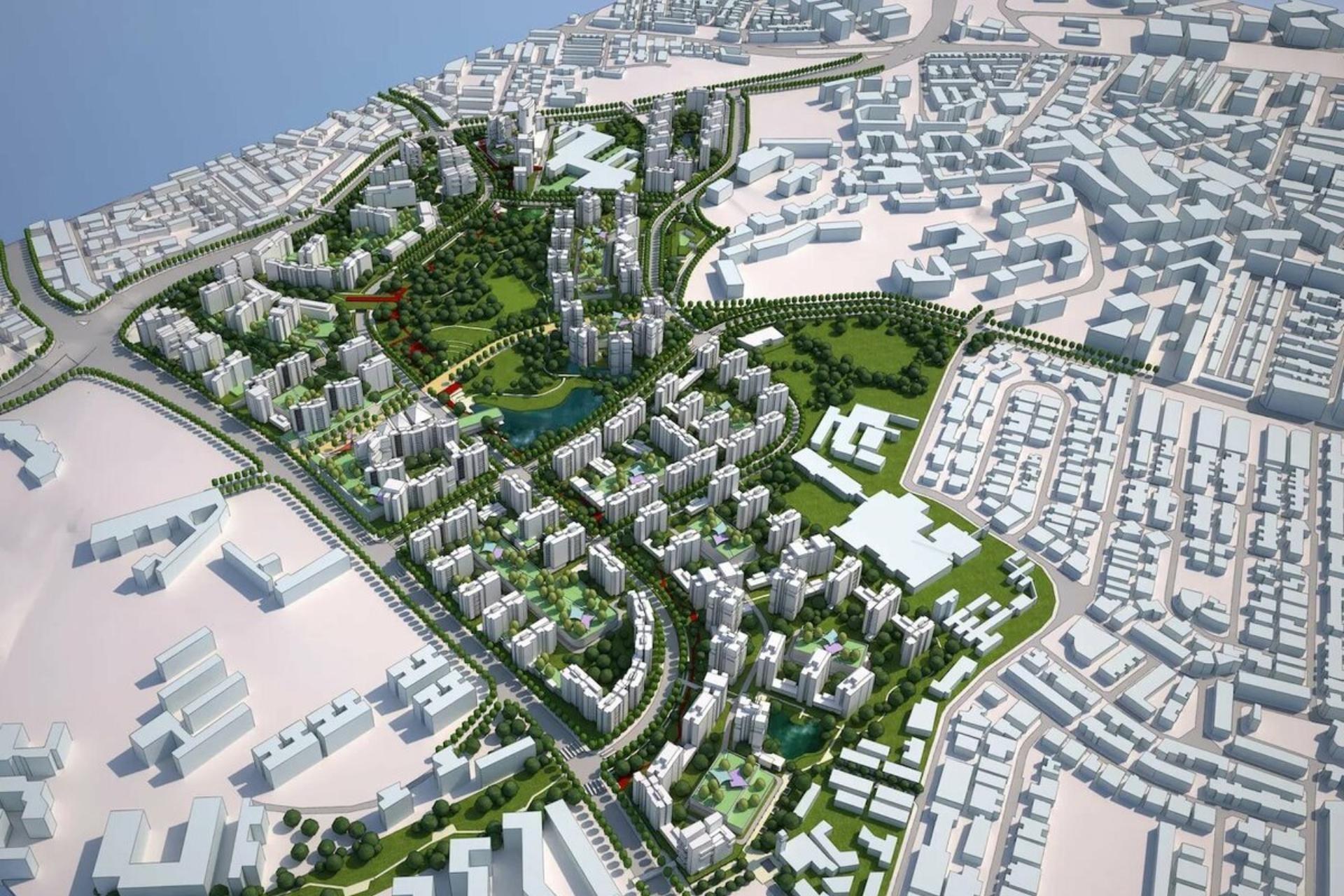
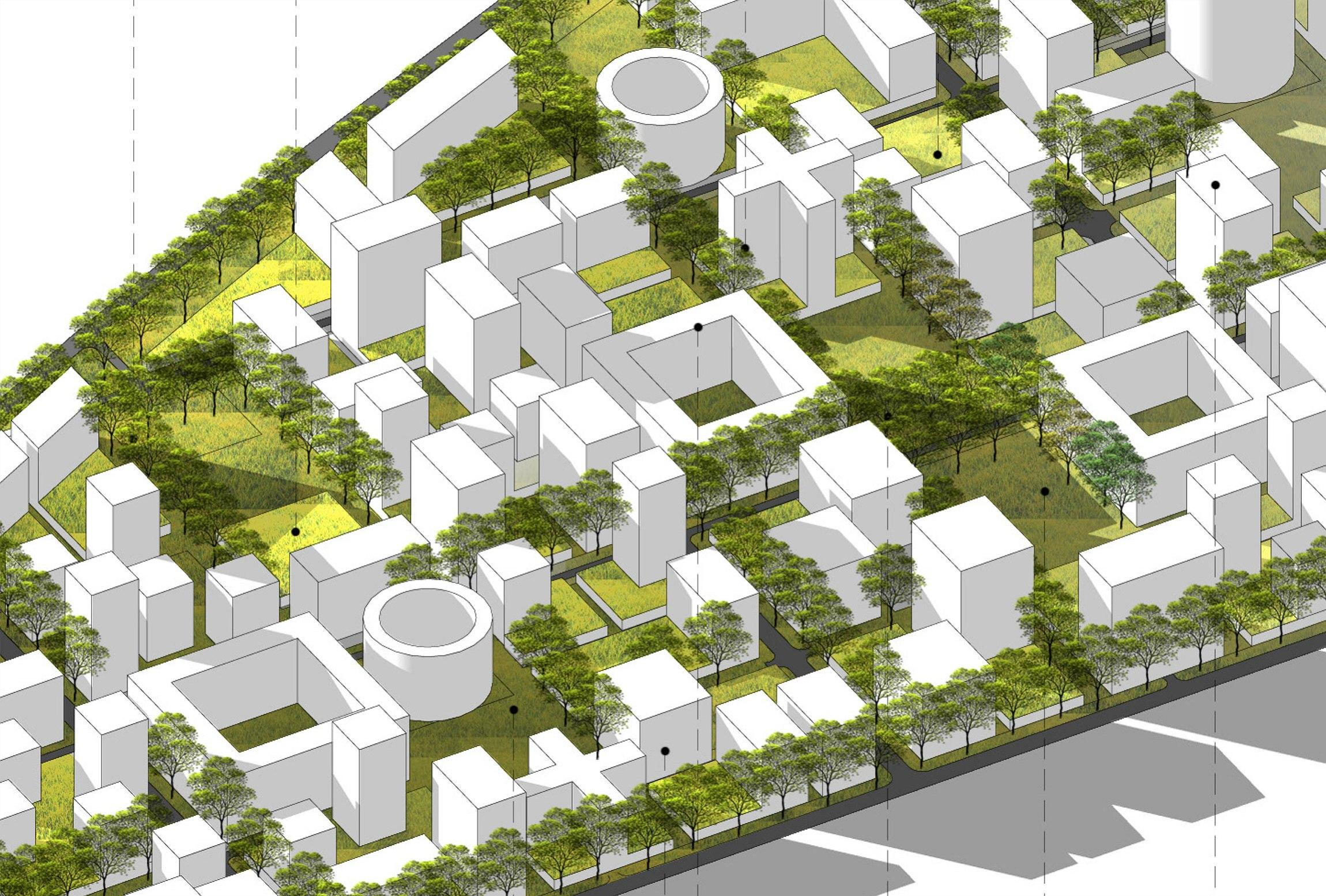
GeoShape has rolled out a significant enhancement to its cloud service, designed to streamline the integration of diverse urban data for strategic development. This technical update introduces an advanced module facilitating comprehensive aggregation and analysis of complex geospatial datasets, empowering urban planners and decision-makers with a unified platform for informed strategic planning.
Previously, clients encountered challenges in consolidating disparate urban data sources, including infrastructure layouts, demographic statistics, environmental metrics, and public service records. Existing limitations often resulted in fragmented insights, extended data processing cycles, and increased complexity in achieving a cohesive operational overview essential for effective decision-making. The absence of a streamlined integration framework frequently led to data silos, impeding efficient analysis and comprehensive understanding of urban environments.
The realization of this enhanced service module involved a dedicated, multi-disciplinary team at GeoShape, focusing on developing scalable data ingestion pipelines and robust API interfaces. The development process incorporated extensive internal testing, simulating various data loads and integration scenarios to ascertain system stability and data integrity. This included meticulous validation of data parsing algorithms and cross-platform compatibility. Following successful internal evaluations and a controlled pilot program, the updated service was systematically deployed across our cloud infrastructure. 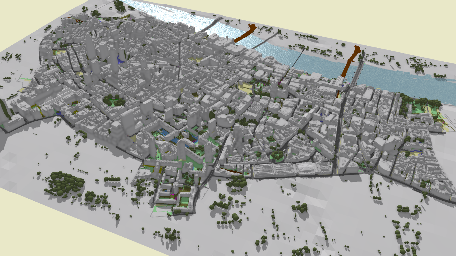
The impact of this update is observed both internally and among our client base. Internally, GeoShape's data engineering workflows have been optimized, enabling teams to allocate more resources to advanced analytical models rather than manual data reconciliation. For clients, the immediate benefit is a substantial reduction in data preparation time. Urban planners, policy makers, and development teams can now access a consolidated, real-time view of city-wide information, fostering more collaborative and data-driven approaches to critical areas such as infrastructure projects, resource allocation, and environmental management. This integration facilitates a more holistic understanding of urban dynamics.
The implementation of these enhancements has yielded discernible improvements across several key operational metrics. Data processing throughput has experienced a notable uplift, allowing for faster assimilation of large-scale urban datasets. The speed at which complex queries can be executed against integrated data pools has also been significantly enhanced, providing more timely insights. Furthermore, the user experience has been refined, offering a more intuitive interface for data source management and visualization, thereby improving convenience for end-users in leveraging urban intelligence for their strategic objectives.


Harold Flores
This sounds like a crucial step forward for urban planning. The focus on integrating disparate data sources addresses a long-standing challenge effectively.
Bella Hunt
We appreciate your feedback. Our goal was indeed to provide a more cohesive data environment for urban development professionals.
Aubrey Lee
I'm interested to see how this impacts smaller municipalities with limited data infrastructure. Will there be specific tools for them?
Richard Ray
Our service is designed with scalability in mind, aiming to support various scales of urban environments. We continually evaluate feature sets to address diverse client needs.