Architectural Vision Meets Reality: Advancements in 3D City Modeling Tools
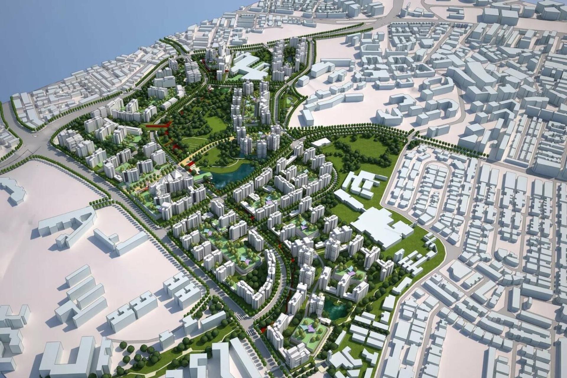
GeoShape has successfully implemented a comprehensive upgrade to its core 3D city modeling platform. This update integrates an advanced procedural generation engine and optimized data processing algorithms, specifically designed to enhance the creation, refinement, and scalability of large-scale urban environments. This addresses critical demands in modern geospatial applications.
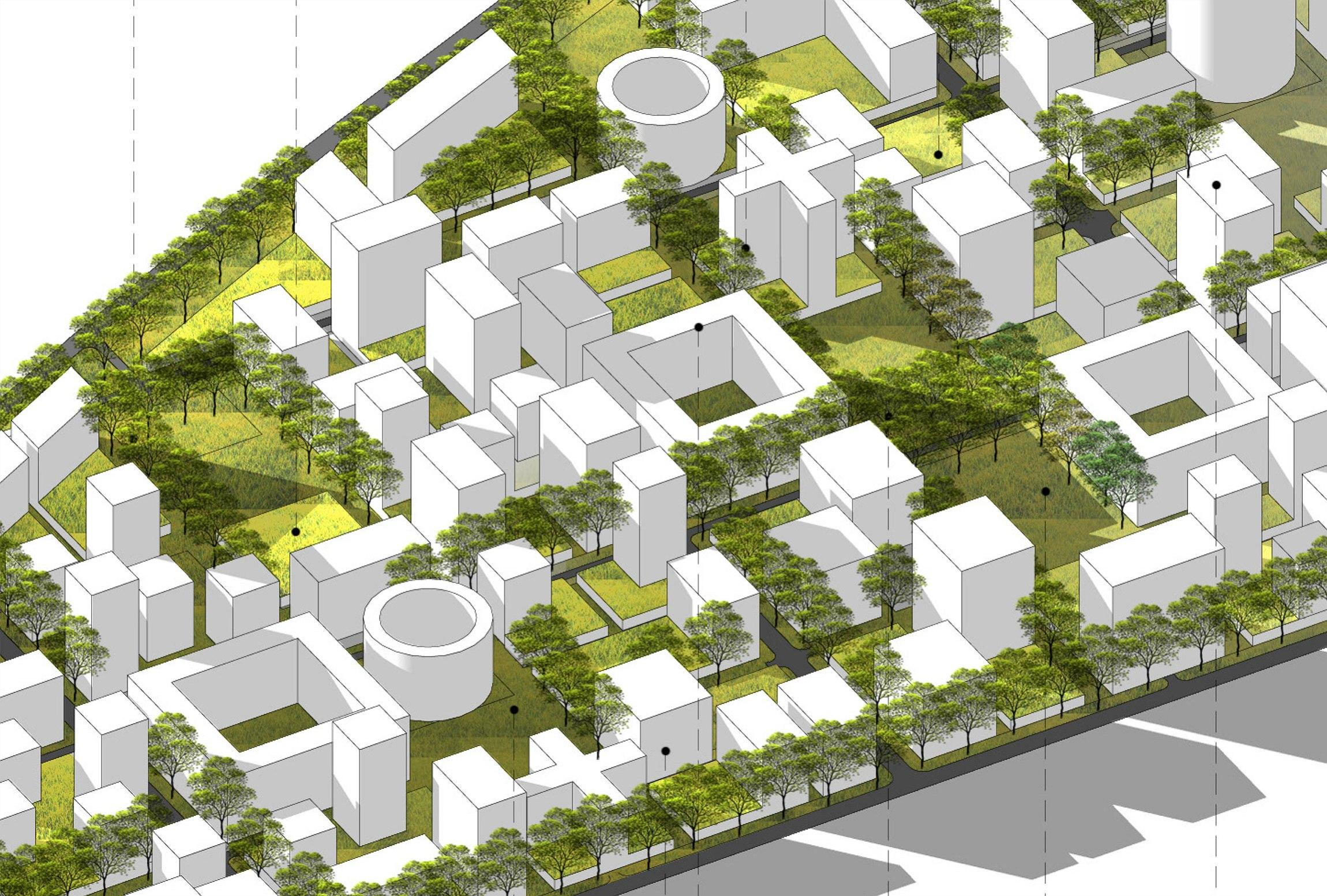
Previously, generating highly detailed 3D city models, especially for expansive areas and intricate architectural features, often required considerable manual intervention. This approach led to extended development cycles, increased resource allocation, and limitations in handling the growing complexity and volume of data. Integrating diverse geospatial datasets also presented challenges in maintaining consistent model accuracy and integrity across projects.
The realization of this update involved a dedicated, multi-disciplinary team of software engineers, geospatial data scientists, and architectural visualization specialists. The development phase focused on architecting a robust, modular system for sophisticated procedural rule sets and optimizing spatial indexing structures for unparalleled performance. Rigorous internal testing, encompassing alpha and beta phases with selected internal project teams, validated the system across various city scales and data complexities. The new capabilities were then deployed through a controlled, incremental rollout, prioritizing stability and data integrity at every stage. 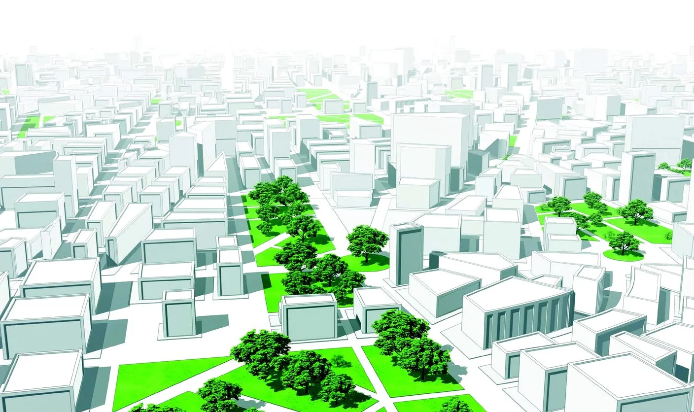
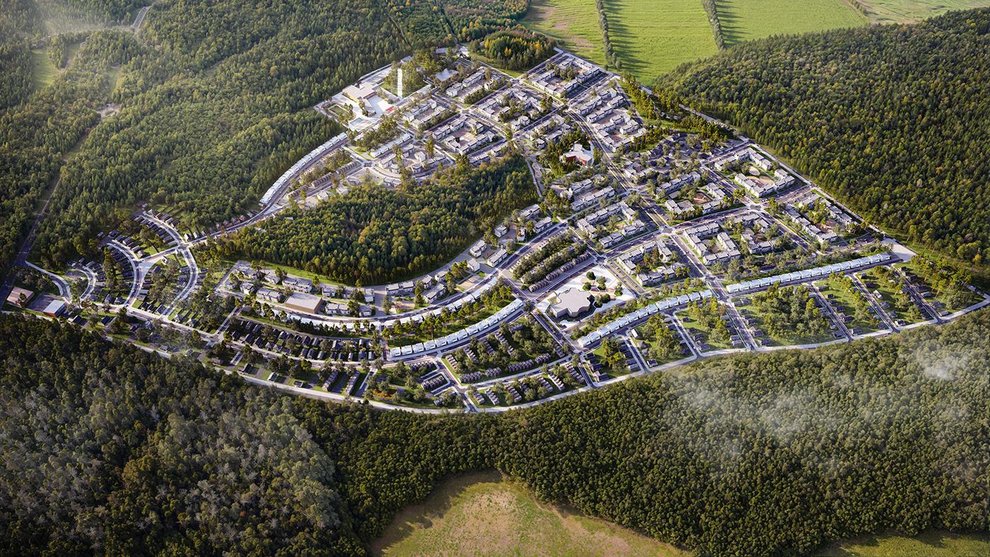
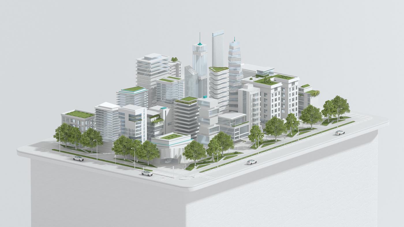
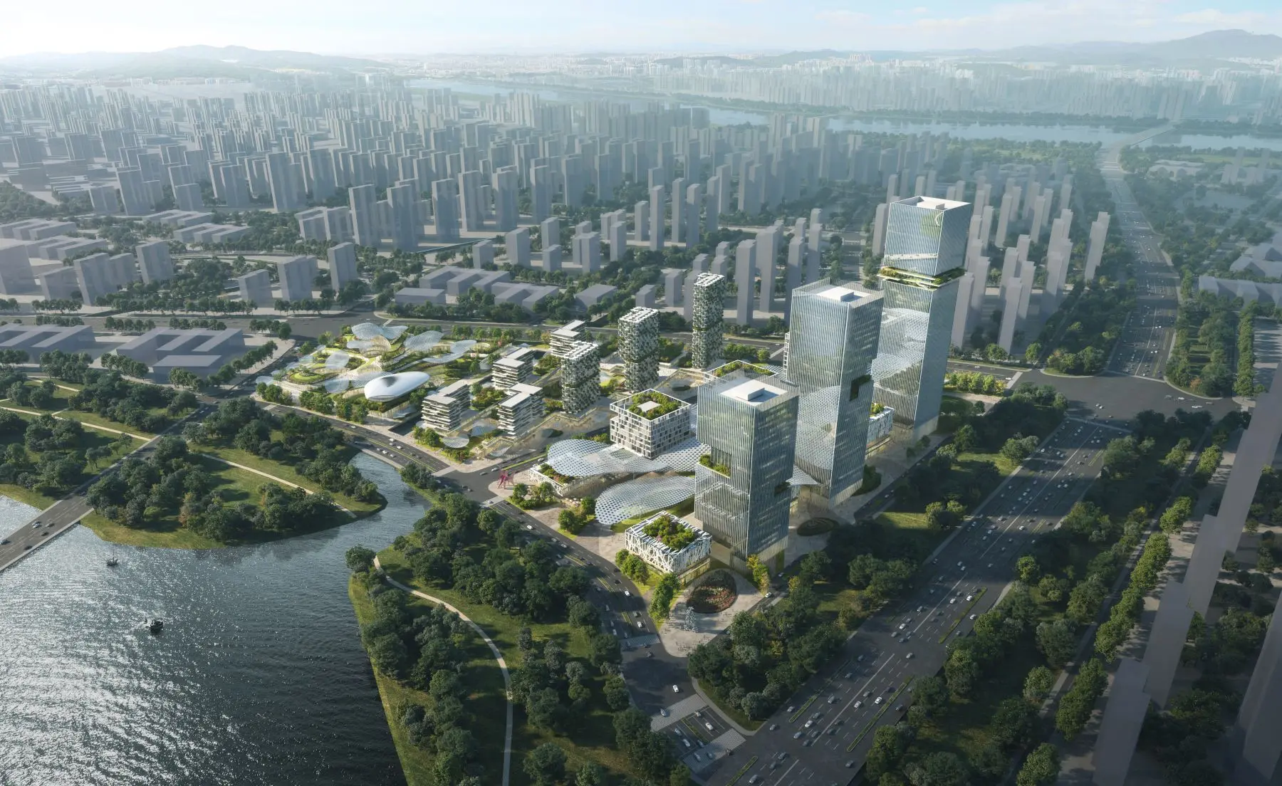
The impact of these advancements is already evident in both internal workflows and client project delivery. Internally, GeoShape's project teams can now iterate on urban designs with significantly reduced lead times, fostering a more agile development environment. Enhanced automation frees specialists to focus on higher-level analytical tasks, strategic planning, and innovative problem-solving. For clients, this translates into faster delivery of exceptionally detailed and accurate 3D city models, instrumental for dynamic urban planning, critical infrastructure development, and precise environmental impact assessments. The ability to rapidly generate and evaluate multiple design scenarios facilitates more informed decision-making.
Initial performance metrics demonstrate a substantial improvement in model generation speed, with complex urban scenes exhibiting a reduction in processing time by up to 40%. The accuracy and realism of procedurally generated architectural elements have also seen a notable increase, significantly diminishing the requirement for post-generation manual adjustments. Feedback from early adopters highlights enhanced ease of use, particularly in managing complex rule sets and integrating diverse geospatial datasets. This collective improvement contributes to a more efficient, precise, and responsive workflow for all stakeholders.